

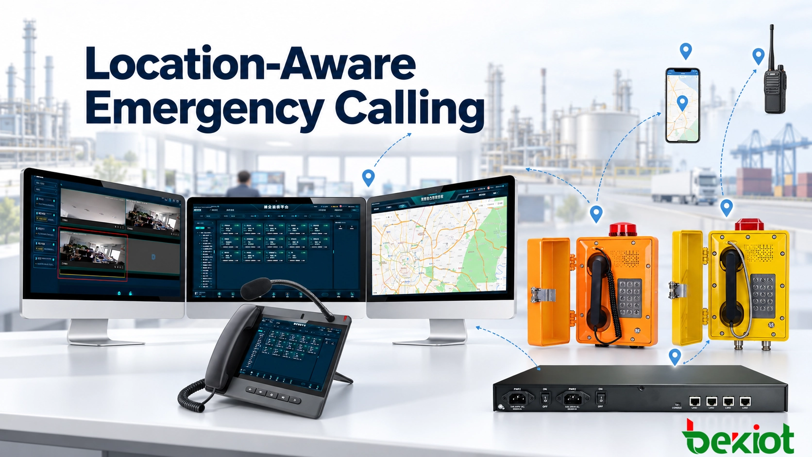
An emergency call may identify one facility while the asset database points to another and the caller is moving. A dependable workflow connects caller identity to location sources, checks their age and uncertainty, and presents operational context. A map marker alone cannot establish where a caller is or guarantee an appropriate response.
A location record needs more than coordinates
Latitude and longitude can identify a building without identifying the correct entrance, floor or room. Keep civic and site descriptions alongside coordinates, including tunnel markers, platforms, equipment references and access restrictions. Indoor vertical information should state its source and reference: a floor label is not automatically a measured altitude.
| Record component | What the operator needs |
|---|---|
| Operational location | Site, building, floor, room, zone and a usable access description. |
| Geometry and reference | Coordinates or a coverage area, coordinate reference, and vertical reference where available. |
| Provenance | Asset record, GNSS, network estimate or manual confirmation; identify the target device or person. |
| Time | Measurement timestamp and, separately, the fixed record's last verification time. |
| Uncertainty | Reported accuracy, area or confidence information where supplied; do not invent a precision. |
| Verification and permissions | Who verified the record, its validity, and authorized use, sharing and retention. |
For example, “updated 12 seconds ago” and “estimated within 20 meters” describe age and a reported estimate, not guaranteed accuracy. A verified installation record may remain appropriate for a fixed phone, while the same age can be unacceptable for a moving caller.
Different endpoints supply different evidence
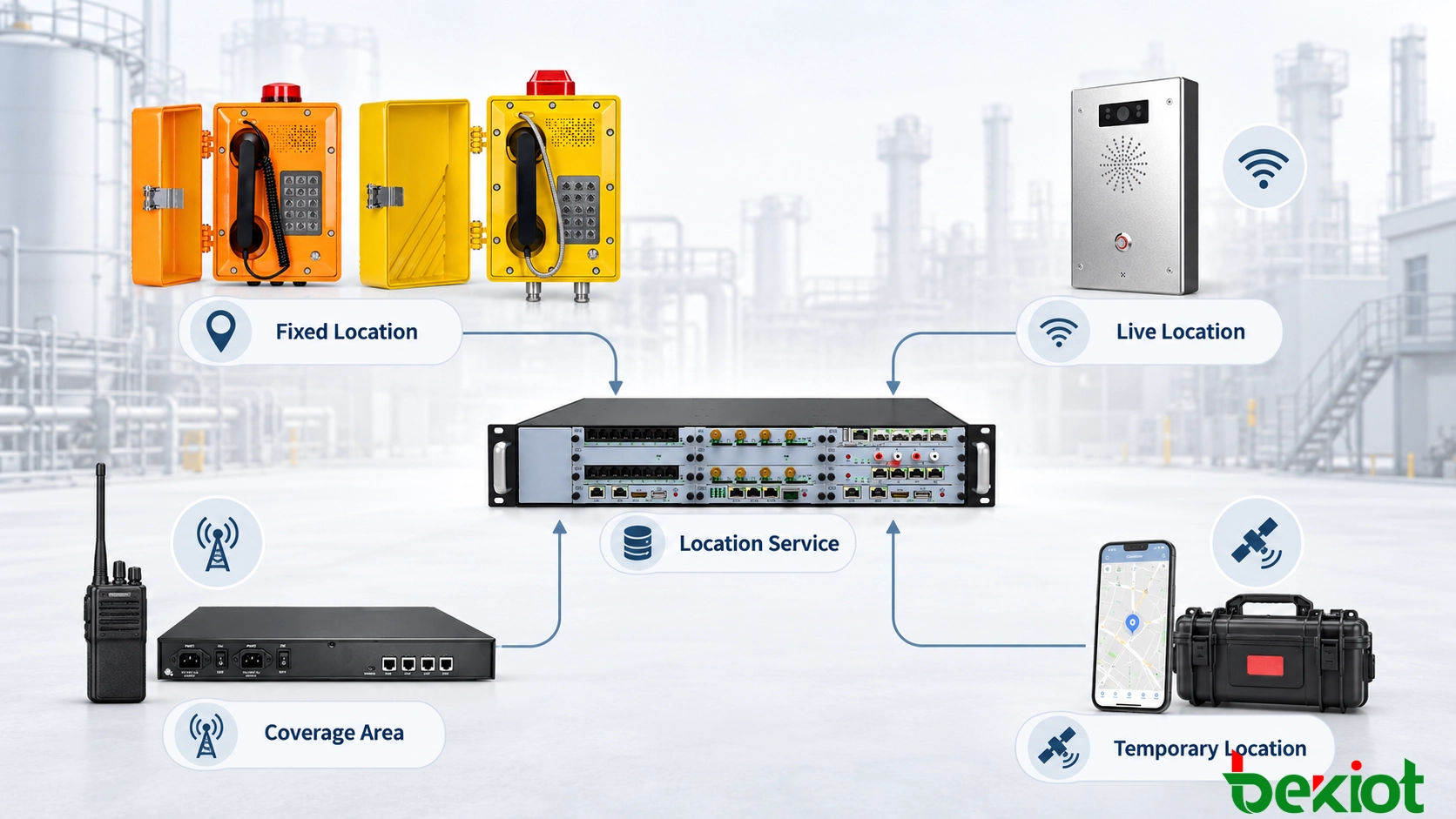
Fixed phones and intercoms
Associate a SIP account, extension or asset identity with an approved installation record. For an analog phone, map the FXS gateway and port to the field endpoint. Relocation, rewiring or port reassignment requires a record update. A successful call does not prove that the displayed location matches the physical installation.
Mobile applications
A supported application can obtain GNSS, Wi-Fi or cellular positioning and supply updates during an incident, subject to device capability, permissions and connectivity. Indoors and underground, accuracy or availability may deteriorate. Distinguish a current measurement from a network estimate or last-known position, and show the measurement time.
Radio and push-to-talk users
Radio identity, call sign or talk group identifies a communication resource, not necessarily its precise position. Some terminals and networks supply GNSS; others identify only a radio site or coverage area. A RoIP gateway connects communication paths but does not create positioning capability. Display an area when that is all the source supports.
Temporary equipment
Command vehicles, portable satellite terminals and temporary SIP kits need a current deployment record. An authorized user should set the site, responsible team, activation time and expiry condition. Close or expire the record at the end of deployment so the next incident does not reuse an old position.
From signaling to verified GIS information
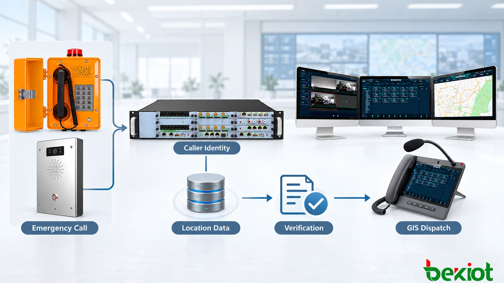
Receive the call and available caller or endpoint identity; assess the identity's trustworthiness.
Retrieve the approved asset record or supported positioning source for that identity.
Compare source, target, timestamp, uncertainty and verification history; retain conflicting alternatives.
Normalize coordinates, civic descriptions and indoor references without discarding provenance.
Display the selected result with its limitations and attach the call and location evidence to one incident.
SIP registration or an ordinary SIP call does not guarantee location delivery. RFC 6442 defines Geolocation conveyance, including a reference to a PIDF-LO body or a remotely retrieved location object. Endpoints, intermediaries and receiving applications must support the chosen method. Identity lookup in an asset database is a different integration path, not proof that SIP itself carried coordinates.
PIDF-LO can represent location with usage rules. Check routing-use permission, retransmission restrictions and retention requirements through the applicable interfaces and operating policy. Authenticate sources where possible and restrict access; receiving coordinates does not by itself establish their truth or authorize unrestricted employee tracking.
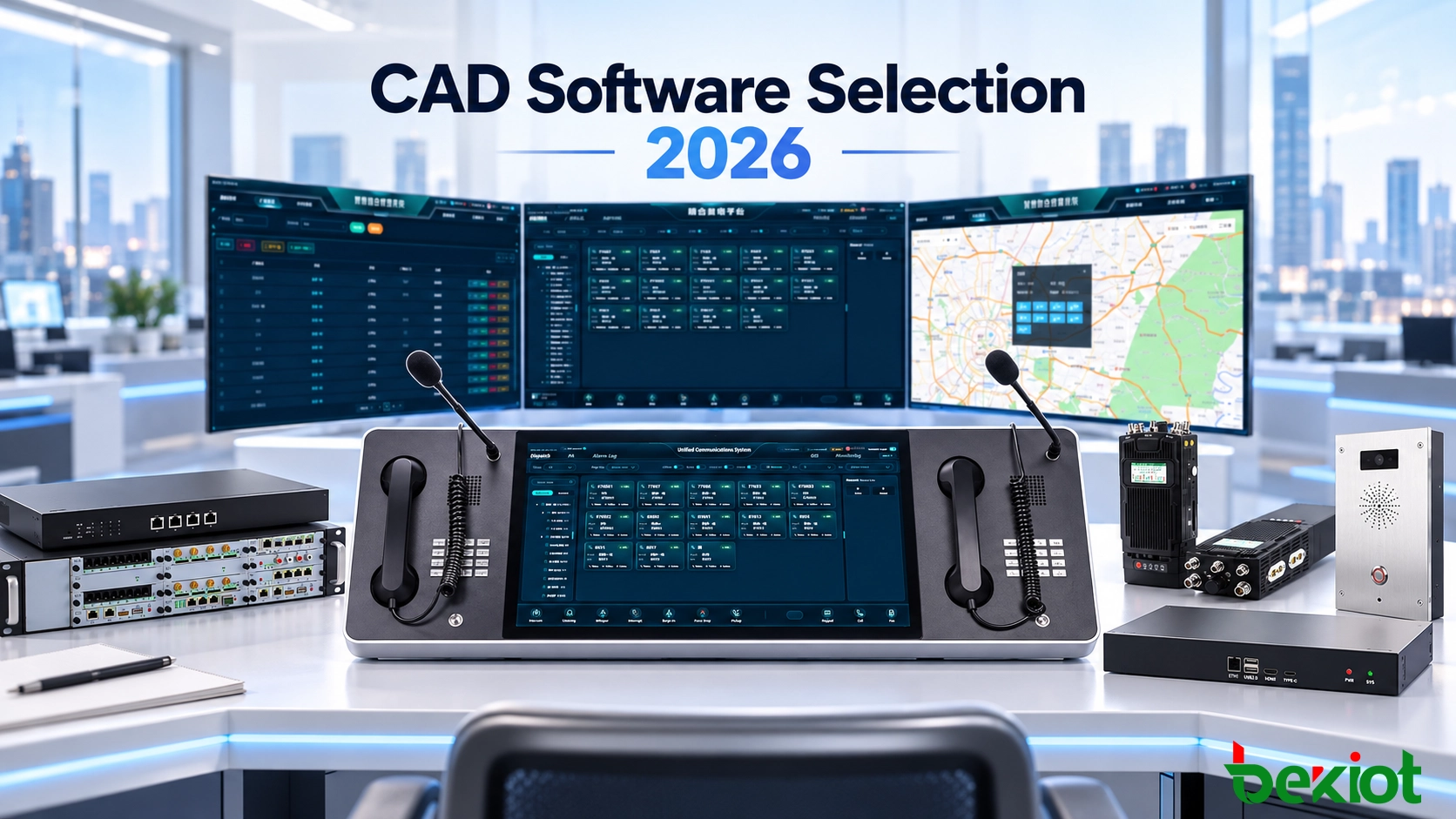
The Becke Telcom dispatch platform provides a related communication context; location sources, map services and supported interfaces must be confirmed for the project.
IP Telephony Dispatch System for Command and Control Centers
Handle missing, stale and conflicting positions
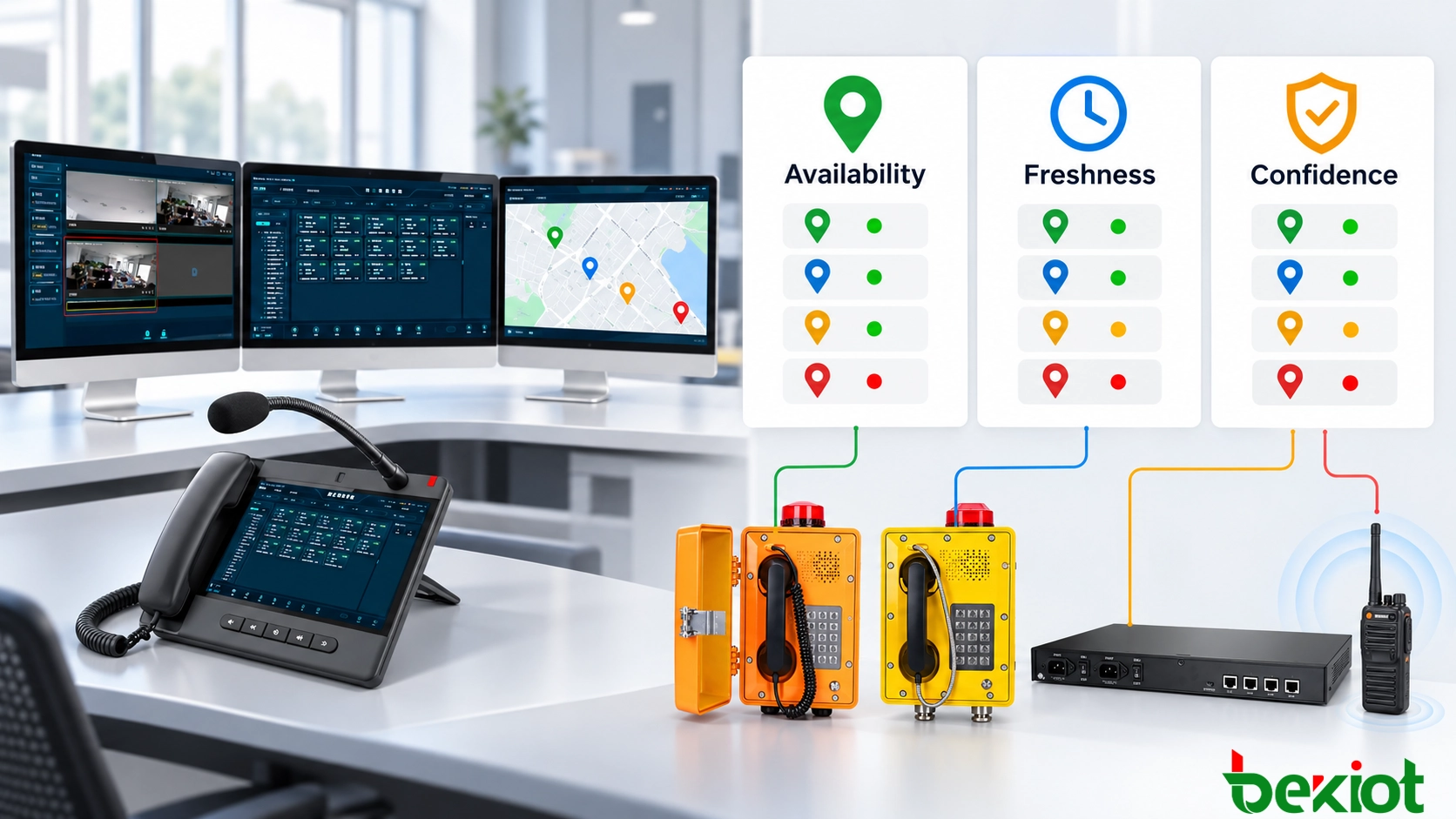
| Dimension | Possible states | Operational interpretation |
|---|---|---|
| Availability | Available, partial, unavailable | Whether a usable description or geometry exists. |
| Freshness | Live, recent, last verified, stale | Age of the measurement or verification, judged for the scenario. |
| Confidence | Verified, estimated, conflicting, unconfirmed | Evidence supporting the result; a local status is not a guaranteed statistical confidence level. |
A live estimate can be useful without being verified. A last-verified fixed record can be reliable without being live. A stale mobile point must not be presented as current. When sources conflict, compare timestamps, uncertainty and provenance, show alternatives and ask the caller to confirm a sign, building, platform or nearby landmark.
Keep the caller's confirmed description alongside the original automated data. Record which position the dispatcher used and why. Acceptable age depends on movement and the response task; there is no universal stale-data interval for every endpoint.
Use location for the appropriate dispatch decision
For internal dispatch, site or service-area rules can select the responsible duty group and an alternate if it is unavailable. Preserve the original identity and location through transfer. Routing to a jurisdiction's public emergency answering service is a separate, regulated integration that depends on the local emergency network, validated location and routing arrangements. An internal GIS rule alone does not provide that service or certify compliance.
Supported integrations can identify nearby cameras, alarms, paging zones, radio groups and response resources. Select qualified, available responders with usable access routes; the nearest marker may be separated by a restricted area or blocked entrance. Associate calls, notifications, recordings and operator actions with the same incident reference where the interfaces permit.
Reliability, access control and commissioning
Design a degraded mode that keeps voice answering available when GIS, positioning or the asset database fails. Display cached fixed records or text descriptions with clear age and source labels. Define manual location confirmation and escalation rather than allowing a failed map request to block the operator's workflow.
Limit record changes and mobile-location access by role. Log the old and new values, user, time and reason, and define retention and sharing. Recheck fixed devices after relocation, replacement, gateway rewiring, network migration or building changes. Compare physical labels, endpoint identity, gateway port, asset record and map position.
Test fixed and analog endpoints from their installed positions, including a changed gateway-port mapping.
Test moving mobile users, denied location permission, stale readings and conflicting GNSS/Wi-Fi results.
Test radio coverage-area records and a temporary terminal at a new deployment.
Interrupt GIS, positioning and central-database access; verify voice answering and manual fallback.
Verify camera and paging-zone associations, transfers, permissions, change logs and incident correlation.
FAQs
Can several centers share location records?
Yes, through supported shared or synchronized data services. Define the master record owner, update distribution, offline behavior and conflict resolution before enabling edits at several centers.
How should indoor maps and different GIS systems stay aligned?
Use consistent building, floor, room and asset identifiers. Control drawing versions and test coordinate transformations so one incident appears in the same place across systems. Reverify changes at the site.
Can this work without continuous employee tracking?
Yes. Fixed phones can use installation records, and supported mobile workflows can request location when an emergency is activated. Apply the necessary permissions and access limits; location collection depends on the actual design.